EirePlan — How it works
How it works
Everything about a site is already public.
It is just scattered.
Planning history, ground conditions, services and transport are all published, across 35 sources that were never built to talk to each other. We collect them, resolve them to one address, and keep the source attached to every figure.
- 01
Collect
Thirty-one planning registers, plus the national datasets for ground, water, services, transport and people. Each on its own schedule, each in its own shape.
- 02
Normalise
One record per application, carrying the same fields whatever the source register calls them, matched to the statutory authority whose boundary the site sits inside.
- 03
Open the file
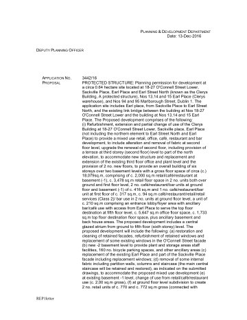
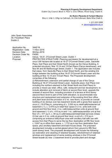
The documents the council published against the application: planner's report, conditions, further-information letters, objections.
- 04
Answer
Ask a question about a site and get the passage back, with the document and page it came from. Or take the whole record as a report, or over the API.
What we collect
Every layer here is built from public datasets that are licensed for reuse. Where a published figure exists we use it rather than model one of our own.
From thirty-one registers to one record
A register will tell you an application was refused. The reason is in the planner's report and the conditions attached to the decision, which is why those are the files we open.
Register in, condition out
Thirty-one registers become one record per application, and then the decision notice sitting behind it, quoted with the page it came from.
31 planning registers
LADCCLAFingalLASDCCLADLR+27One record per application
3352/2514 Oakley Road, Ranelagh, Dublin 6LADCCDecisionGrantedRead from the file
Condition 7Decision notice, p.4 “The first-floor rear extension shall be set back a minimum of 1.2 metres from the eastern party boundary, and the window serving it shall be fitted with obscure glazing.”Reason: to protect the residential amenity of adjoining property.
Every figure keeps its source
Each figure on a site page carries the dataset it came from and the date we last read it, so you can check it rather than take it.
Named, licensed, and listed
Everything we hold, and where each family of it comes from. If you have to stand over a figure in front of a planner or a client, you can point at its source.
Planning & delivery
- Local authority planning registers
- Development plans & zoning
- Residential Zoned Land Tax maps
- Building control records
- Property Price Register
+3 related feeds
Ground & environment
+12 related feeds
Heritage & archaeology
- National Monuments Service
- National Inventory of Architectural Heritage
- Protected structures & conservation areas
+2 related feeds
Land & tenure
Check it yourself.
A full site — boundary, thirteen applications, the documents behind them — is open to the public. No account needed.